DSCOVR EPIC
Real full-disc photographyThe exact Earth and clouds recorded from deep space, used whenever a suitable EPIC observation exists.
Imagery & accuracy
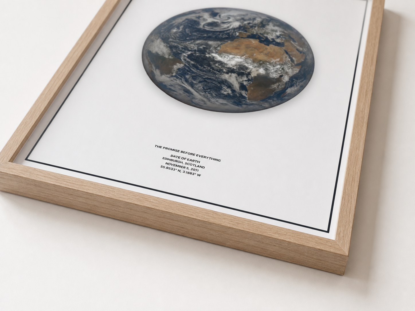
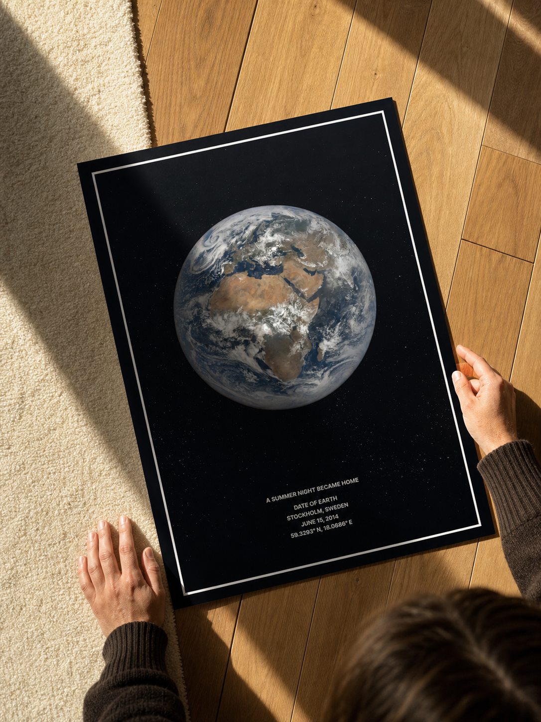
A Date of Earth is not a generic globe with a date printed underneath. Your date and place determine the image source and the view of Earth used in your print.
Learn how it works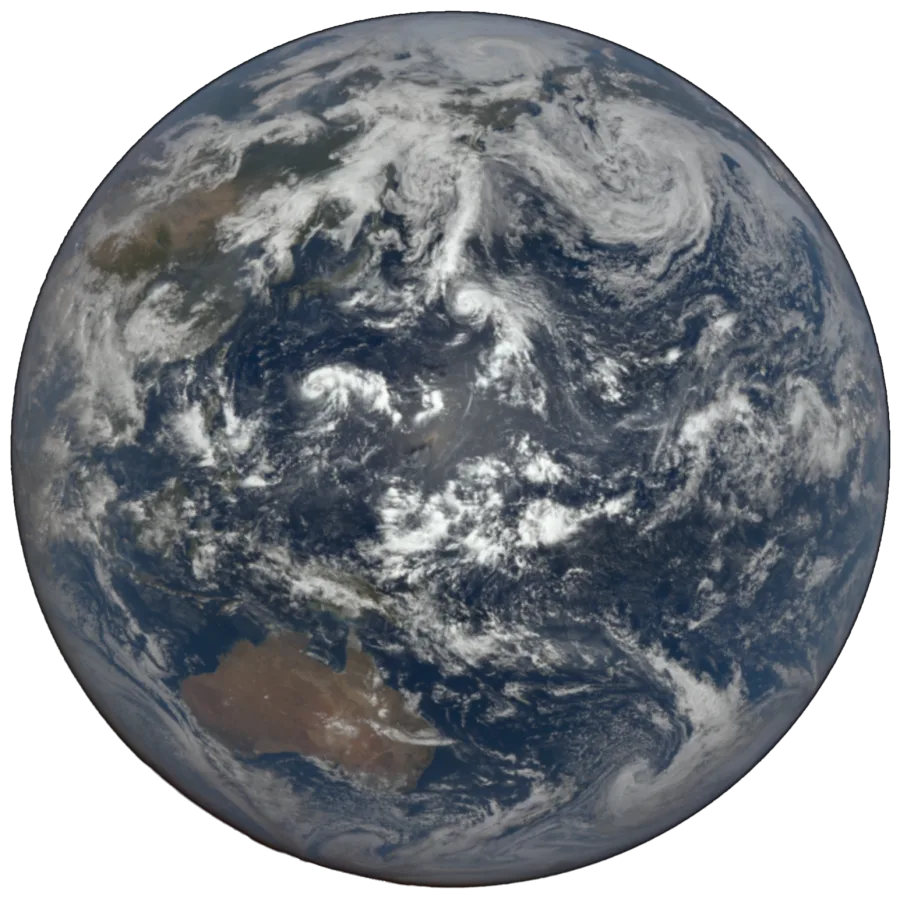
The short answer
Yes. We use the strongest Earth observation record available for the date you choose. When NASA’s EPIC archive covers the day, we use a real full-disc photograph. For earlier dates, we rebuild the view from NASA satellite imagery and NOAA weather data for that date.
Your date and place choose the source and the view. They are never just a caption beneath a generic Earth.
2015 onward, when EPIC covered the date
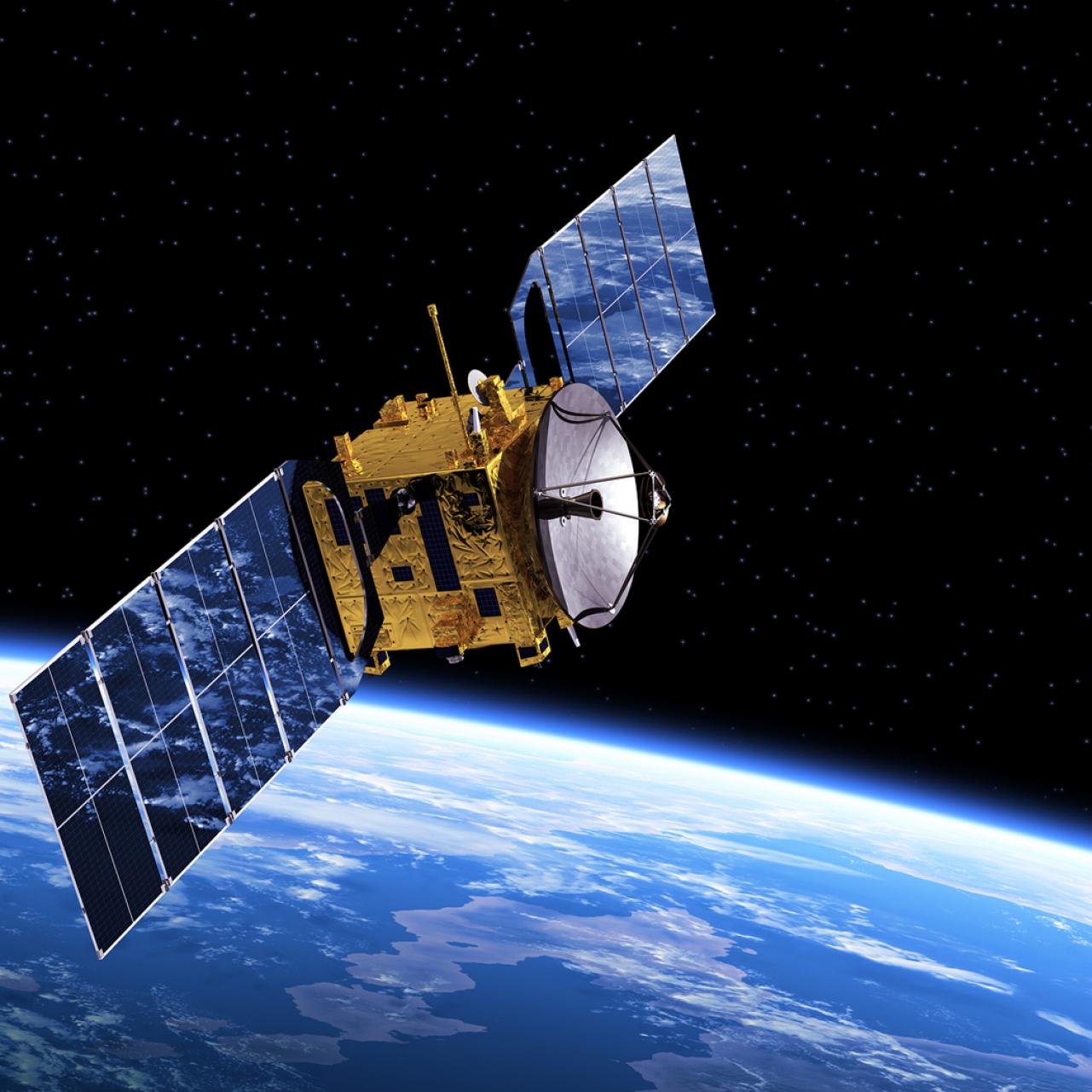
EPIC travels aboard NOAA’s DSCOVR spacecraft near Lagrange point 1, approximately 1.5 million kilometres from Earth. From there, it photographs the complete sunlit planet in a single frame.
On your date, we check the available observations and select the image that best faces your chosen place. The Earth and cloud systems in the print are the ones the camera recorded.
View the official NASA EPIC archiveThe best source for every era
We always choose the strongest record available for the selected day.
The exact Earth and clouds recorded from deep space, used whenever a suitable EPIC observation exists.
Observed imagery from NASA Terra and Aqua is projected into a full-disc view and colour-matched to EPIC.
Six-hour global cloud data fixes the weather pattern. EPIC-trained texture models add natural photographic detail.
Made for one moment
The date chooses the evidence. It selects the EPIC photograph, daily satellite imagery, or NOAA weather window used to build the Earth.
The place chooses the view. It determines which part of Earth faces the viewer and helps select the best EPIC frame.
Nearby dates can sometimes look similar because large weather systems may last for several days. The source observation and metadata are still tied to the day you selected.
Dates before 1980
Modern satellite weather coverage only became globally consistent around 1979. Before then, the technology needed to record the whole planet simply did not exist. Date of Earth currently begins at 1 January 1979, and dates near that boundary carry more uncertainty than recent dates.
Independent sources
The archives are public. You can inspect the imagery and methods directly:
NASA and NOAA identify the public data sources. They do not sponsor or endorse Date of Earth.
Questions, answered plainly
When a suitable DSCOVR EPIC observation exists, the globe is a real full-disc satellite image. Earlier dates use a reconstruction built from date-specific NASA satellite observations or NOAA meteorological data.
Earth changes continuously, but its geography does not. Nearby dates can also have similar large cloud systems. The source date, cloud field, and selected view can still be different even when two prints look alike at first glance.
Yes. Your coordinates determine the geographic focus. For EPIC dates, the system selects the available observation that best faces your chosen place. For earlier dates, the Earth is projected with that place in view.
Yes. The official NASA EPIC, NASA GIBS, and NOAA reanalysis sources are linked below so you can inspect the scientific record independently.
Your date. Your place. Your Earth.